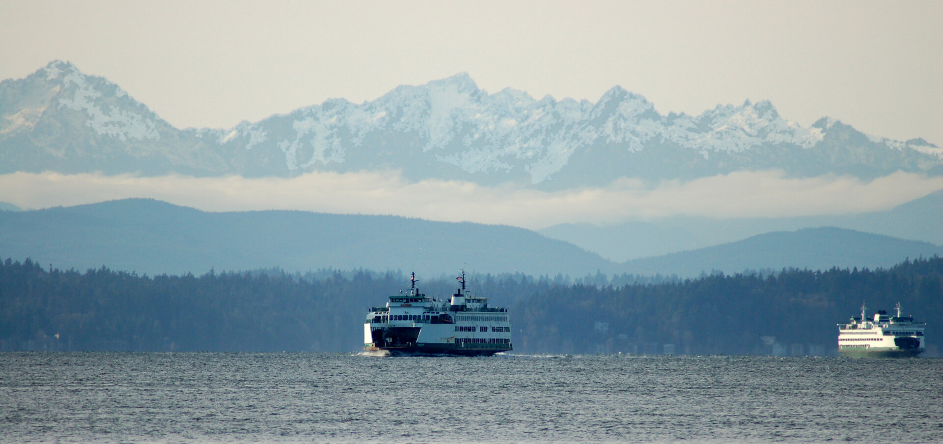
Satellite internet for the whole crossing.
Satellite connectivity and onboard Wi-Fi for ferry operators in the Salish Sea, starting with an assessment of your vessel and route.
Who we serve
For the crossings people count on.
Public ferry systems and passenger operators come first. Riders want to send a file, join a call or check the next connection mid-crossing. Crew need a network kept apart from the public one.
- Onboard Wi-Fi planned deck by deck
- Separate rider and crew networks
- Monitoring and reporting scoped upfront
- Funding model set by the operator
Rider network
A captive portal with your terms of use, content filtering set to your policy, and a sign-in page that works with screen readers and large text.
Operations network
Rider and crew networks are kept separate, with access controls agreed with the operator's IT team.
Comparison
Satellite vs. cellular
For routes with cellular gaps, LEO satellite offers an internet path beyond the reach of shore towers.
Beyond shore coverage
- LEO satellite internet
A path beyond local towers
Provides an internet path beyond local towers where cellular is weak, subject to satellite service coverage and a clear sky view.
- Onboard cellular-backed internet
- Depends on local carrier coverage and shore infrastructure along the route.
Antenna diversity
- LEO satellite internet
Proposed multi-panel design
In Geoduck's proposed multi-panel design, panel placement can reduce vessel-shadow interruptions when another panel still sees the sky.
- Onboard cellular-backed internet
- Antenna placement can address vessel obstruction, but cannot create missing shore coverage and is affected by terrain and tower view.
Coverage and speeds depend on the route, sky visibility, weather and network demand. Both networks share capacity. A vessel trial establishes what riders can expect.
How it works
Three steps, one vessel first.
Step 1
Assess
A route and vessel assessment: ride the crossing, walk the decks with crew, and note power, mounting space, cable routes and signal along the way. Steel bulkheads block Wi-Fi, so access points follow the real layout.
Step 2
Plan
A written design with cost assumptions, plus agreed pilot measures: what coverage and capacity will be measured, and how. Monitoring and reporting are agreed before work starts.
Step 3
Pilot, then decide
Install on one vessel, scheduled around sailings. Measure on real crossings, including busy sailings and weak spots. An operator review of the results guides any rollout.
FAQ
Straight answers.
- Can we start with one vessel?
- Yes. A one-vessel pilot keeps scope manageable. Trial length and measures are agreed first, and the operator review decides what comes next.
- Will every rider get fast internet?
- The design is sized for busy sailings, and the pilot measures actual coverage and usable capacity. Shared capacity and conditions affect speeds.
- How is the crew network protected?
- Rider and crew networks are kept separate, with access controls agreed with your IT team.
- Who pays for rider Wi-Fi?
- Options include free, operator-funded access or an optional paid rider tier. Funding and billing are agreed with the operator.
- How would a public agency buy this?
- Scope, deliverables and pricing are written so they can fit your procurement process, whether that is a small pilot purchase or a formal solicitation.
Contact
Contact Geoduck
Tell us about your vessel, your route, and what you need from your onboard connection.